Map and compass skills are indispensable for outdoor enthusiasts of all levels. Whether you’re a seasoned hiker or just starting your journey, understanding how to navigate using these tools can significantly enhance your outdoor adventures. In this article, we will cover everything from decoding map symbols and contour lines to mastering advanced navigation techniques.
Table of Contents
ToggleUnderstanding Map Symbols and Contour Lines
Before setting foot on the trail, it’s essential to familiarize yourself with topographic maps. These maps provide a wealth of information about the terrain, including elevation, landmarks, and features that are invaluable for navigation. Here’s how to read and interpret them:
- Identifying Summits, Valleys, Ridges, and Cliffs: Topographic maps utilize contour lines to represent elevation and landforms. Contour lines are curved lines connecting points of equal elevation. The closer the lines, the steeper the terrain. Summits are often denoted as small circles with their elevations labeled, while valleys are depicted as hachured contour lines. Ridges and cliffs can be identified by closely spaced contour lines.
- Understanding Map Features: Maps incorporate various symbols and colors to depict both natural and man-made features. Roads, for instance, are usually depicted as thin black or red lines, while water bodies are portrayed in blue. Woodland areas are shaded green, and footpaths are often indicated by dotted or dashed lines. Familiarity with these symbols aids in identifying landmarks and potential routes.
- The Significance of Map Scale: Map scale dictates the level of detail and coverage area. A 1:24,000 scale map provides finer detail over a smaller area, while a 1:100,000 scale map encompasses a larger region with less detail. Select a map scale that suits your hiking area and purpose. Larger scales are ideal for precise navigation, while smaller scales are suitable for broader route planning.
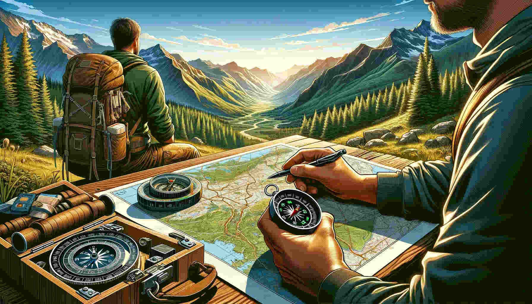
Setting and Orienting Your Map
Now that you can decipher the information on your topographic map, the next step is to set and orient it correctly. This ensures that your map aligns accurately with the real-world terrain, facilitating precise navigation. Here’s how to do it:
- Aligning the Map with the Landscape: Place your map on a level surface and position your compass alongside it. Rotate the map until its north-south grid lines align precisely with the compass’s north-south direction. This orients your map to true north, making navigation more straightforward.
- Identifying Your Location: To pinpoint your location on the map, identify prominent landmarks and terrain features visible in the field. By using these visual cues, cross-reference your map to determine your approximate position. Keep in mind that the more features you identify, the more accurate your location fix will be.
Compass Basics: Components and Functionality
A compass serves as a fundamental tool for navigation, and comprehending its components and functionality is crucial for successful map and compass navigation. Here’s an overview of the key parts of a compass:
- Baseplate: The baseplate is the flat, transparent component of the compass that holds the map. It typically features ruler markings for measuring distances on the map.
- Rotating Bezel: The rotating bezel is a circular dial found on the compass housing that can be turned. It bears degree markings from 0 to 360, facilitating the measurement of bearings and headings.
- Needle: The needle is the magnetized part of the compass that aligns with magnetic north. It is typically red or has a red end for easy distinction.
- Housing: The housing encases the compass needle and may contain additional markings for navigation purposes.
Understanding Magnetic North and Declination Adjustments
To effectively use a compass, you must grasp the concepts of magnetic north and declination adjustments:
- Magnetic North: The compass needle points toward magnetic north, which differs from true north (the North Pole). The angle between magnetic north and true north is called declination, and it varies based on your location.
- Declination Adjustments: For accurate navigation, you must compensate for declination. Some compasses feature a declination adjustment screw or scale, allowing you to set the appropriate declination for your area. Alternatively, you can find declination values for your location on topographic maps or online resources and manually adjust your compass.
Using a Compass with a Map
Now that you’re acquainted with the compass’s components and comprehend magnetic north and declination, let’s explore how to use a compass in conjunction with your map. Here’s a step-by-step guide:
- Orienting the Map with a Compass: Position your map on a level surface and lay the compass alongside it. Rotate the map until the compass’s north arrow precisely aligns with the magnetic north direction. Your map is now oriented to the terrain.
- Taking Bearings from a Map: To determine a specific direction, place the edge of the compass baseplate on the map, aligning it with your starting point and destination. Read the degrees on the compass bezel that align with the direction arrow. This provides your map bearing.
- Using Map Bearings for Navigation: When navigating in the field, hold the compass flat in your hand with the direction arrow pointing away from you. Rotate your body until the compass needle aligns with the orienting arrow in the housing. At this point, you are facing the desired direction.
Navigating in Different Terrains and Conditions
Having mastered the basics, let’s explore how to navigate in various terrains and under different weather conditions:
- Mountains: In mountainous terrain, pay close attention to contour lines to identify valleys, ridges, and steep slopes. Utilize your compass to ascertain the direction of ascent or descent and monitor elevation changes meticulously.
- Forests: In dense forested areas, landmarks may be less visible. Depend on your compass to maintain your sense of direction and, if feasible, search for clearings or natural openings to obtain bearings and reorient yourself.
- Deserts: Desert landscapes can be vast and featureless. Rely on your compass to remain on course and take regular bearings to verify your direction. Stay attentive to distinctive features like rock formations or dunes.
- Weather Conditions: In adverse weather conditions such as fog or heavy rain, visibility can be severely restricted. Trust your compass to maintain your heading, and regularly take bearings to ensure you stay on track.
Advanced Navigation Techniques
For those seeking to elevate their navigation skills, consider these advanced techniques:
- Triangulation: Triangulation entails using your compass to take bearings on two or more distant landmarks. Plot these bearings on your map, and where the lines intersect, you pinpoint your precise location.
- Resection: Resection is the reverse of triangulation. When uncertain about your exact location but able to identify prominent landmarks around you, take bearings to those landmarks. On the map, draw lines corresponding to these bearings, and the point of convergence reveals your location.
- Off-Trail Navigation and Route Planning: When venturing off established trails or navigating unmarked terrain, rely on your compass to navigate with precision. Take accurate bearings and pace distances as you plan your route meticulously on the map.
Practical Exercises and Tips for Improving Navigation Skills
To refine your map and compass skills, consider these practical exercises:
- Map Familiarization: Dedicate time to studying topographic maps of your preferred hiking areas. Practice identifying key features, contour lines, and symbols.
- Orienteering Courses: Many parks and outdoor organizations offer orienteering courses, which involve using a map and compass to navigate designated routes. Engaging in these courses can be a enjoyable way to enhance your skills.
- Night Navigation: Challenge yourself by navigating with a map and compass at night. This exercise enhances your reliance on these tools, as visual cues become limited.
- Solo Hiking and Navigation: Test your skills by embarking on solo hikes and relying solely on map and compass navigation. Always inform someone of your plans and anticipated return time for safety.
Safety and Preparedness
Map and compass skills not only enhance your hiking experience but also play a crucial role in your safety. Here’s why:
- Hiking Safety: Accurate navigation helps you remain on designated trails and averts the risk of getting lost. This reduces the likelihood of accidents and ensures you can find your way back to safety if necessary.
- Digital Tools vs. Traditional Navigation: While GPS and smartphone apps are convenient, they can falter due to battery depletion, signal loss, or damage. Carrying a physical map and compass as backup guarantees that you always have reliable navigation tools at your disposal.
Conclusion
In the age of technology, map and compass skills remain timeless and essential for hiking and outdoor exploration. By mastering the art of reading a map and using a compass, you empower yourself with the ability to navigate confidently in any terrain and under varying conditions.
Remember, practice makes perfect, so don’t hesitate to embark on new adventures and put your newfound skills to the test. The more you utilize your map and compass, the more intuitive navigation becomes, ensuring safer and more enjoyable hiking experiences.